Land Development & Mapping

Advanced Technology
Unique service
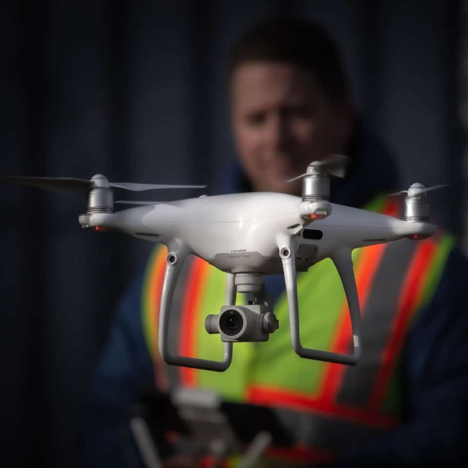
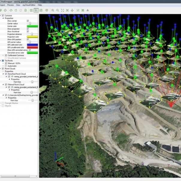
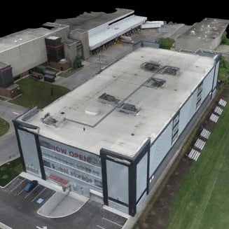
Through the use of a custom-built mapping UAV, topographical mapping is ensured to be accurate, reliable and efficient. Regardless of the uncertainty involved with the location of interest, our experienced pilots are flexible with flying until the desired amount of terrain is surveyed.
In addition, terrestrial surveying with GPS and ground control points will be performed to guarantee accuracy.
This mapping technology is capable of surveying large areas of up to 5,000 m2 in approximately 60 minutes, while keeping the accuracy at around 5-10 cm. In comparison with traditional aerial surveying techniques, the final product is of higher accuracy and requires less flight time and overhead expenses.
A final deliverable can be produced in your industry’s standard format with accuracy to about 0.5m.
